
 Home
Home Author
 History
 Credits
 Home
Home Contact
 Change Log
 Index
Index Alphabetic
 Finished Albums
 Maps
Maps AZ Gmap
 AZ
AZ Physical Ability
 Raw Albums
 Vehicle Type
 Resources
 BLM/FS
 Equipment
 Needed
 Suppliers
 Fossils
 Rock ID
 Tips
Tips Ethics
 Health
 Safety
 Trip Types
 Members
 Login
Login Logout
 PW Change
 PW Forgot
 Renewal
Material Found Topo Map Site Photos Download Photos GPS Waypoints
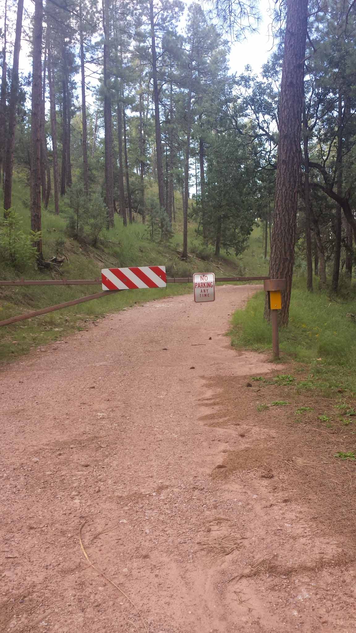
This site has been closed due to the erection of a gate with a pad lock on the road leading to the site. Photo
| Trip Name | Site GPS Coordinates | Trip Area |
|---|---|---|
| Purple Agate | 34.395277, -111.276944 | Northeast |
| Vehicle Type | Physical Ability | Season |
| Any | Strenuous | Feb - Oct |
Trip Description:
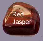
The Purple Payson Agate trip is rated Easy and can be made by any vehicle during good weather. Just be sure to check the weather to make sure that it's not going to snow as snow accumulations in the high country can be quite significant. This area is known primarily for its purple agate, which can be polished to a high luster, and the abundance of fossilized horned coral which can also be found at this site. The only difficult portion of this trip is climbing up the steep hill to get to the purple agate that lies at the top—a climb well worth making. Digging at the top of the hill is likely to render rewarding results!
Trips in this Region:
Nearby Attractions:
Shoofly Indian Ruins Houston Mesa Campgrounds
Tonto Creek Fish Hatchery
Trip Directions:
Starting in Chandler, AZ drive about 90 north on US Highway 87 to Payson, AZ. Then continue straight on 87N past the intersection with 260E for 1.9 miles to Houston Mesa Road. This is where the detail waypoints start. Turn right and continue 12.5 miles to the site. N34º 23’ 43” W111º 16’ 37”